|
July 23, 2013
Miles today: 575
Total miles: 2,888
Time on road: 12 hours 30 minutes
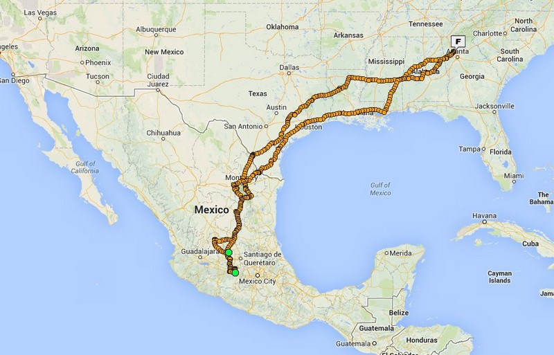
Guanajuato, Guanajuato to Roma, Texas
Numerous heavy thunderstorms during the night. Next morning all of the cobblestone streets were nice and slick.
Started packing up the bike before sunrise. Walked down to the front entrance of the motel and found out how secure the parking was. The front gates were padlocked. No one around and no lights on in the office. Finished getting ready to leave and gates were still locked. Walked over to the office, no lights in the office. Knocked on the door and finally woke someone up that was inside. They came out, unlocked the gates and I was on my way.
Today's plan was to head east out of Guanajuato and cross the mountains. GPS's plan was to head west, north up to Leon, and then east. Never argue with a woman even if she is just a voice in a GPS.
Shortly after leaving the hotel I made a wrong turn. Right road, wrong direction. Heading west and the woman's voice in the GPS was laughing at me. The streets in Guanajuato and laid out something similar to a bowl of spaghetti. They crisscross each other, go over and under each other, and twist and turn in ever direction. The GPS only knows directions on 3 or 4 streets. Get off on a side road and you are on your own. All she will tell you is to "Drive to the highlighted route." Could not find a place to make a u-turn so I turned off of the main road. It started twisting and turning in every direction except the way that I wanted to go. Found a Pemex, stopped and got gas. Tried to figure out where I was at and where I needed to go. Can't get there from here. The GPS was laughing again.
Attempted to find the main road again and go east. Found the main road and I was headed west again. Once again I could not do a u-turn. Gave up and continued heading west. GPS was happy now.
Made it up to Leon and headed east through town. All of the streets were flooded out. Got to practice some water crossing techniques.
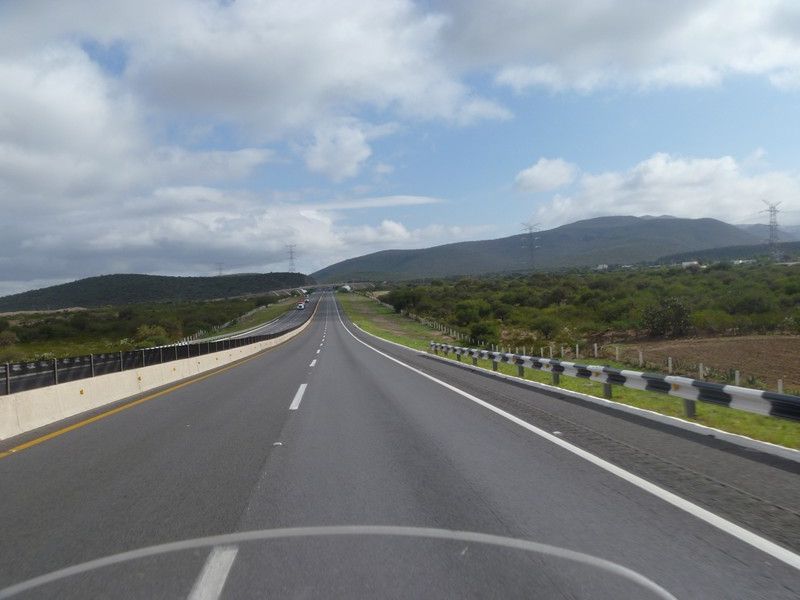
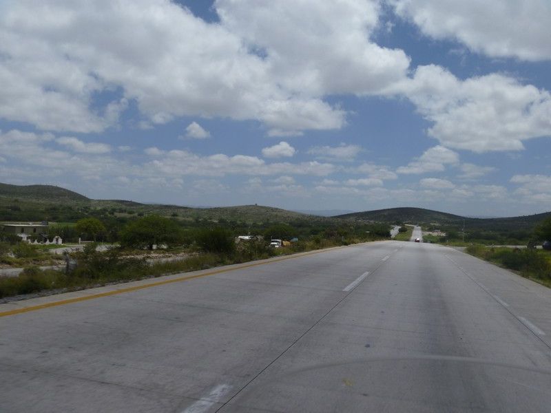
Back on the cuota and heading north toward Monterrey.
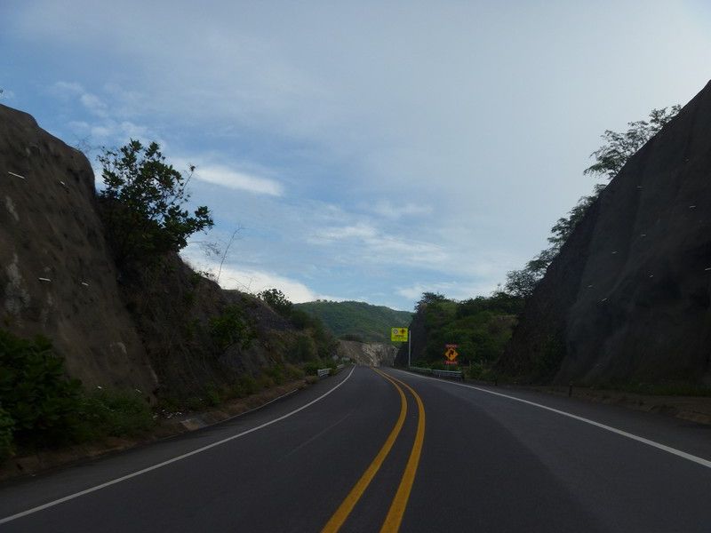
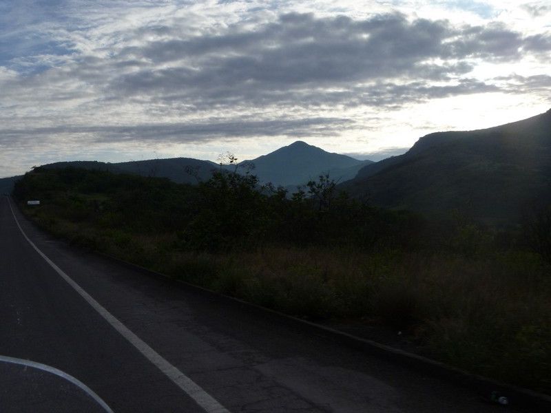
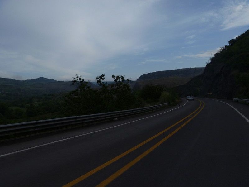
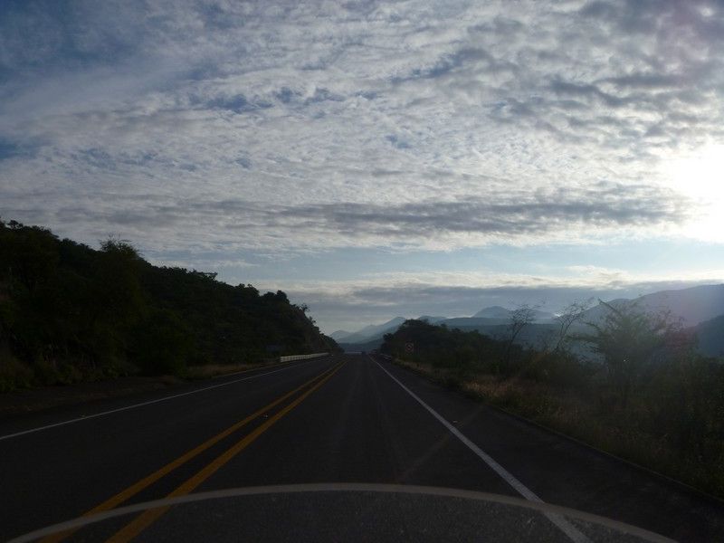
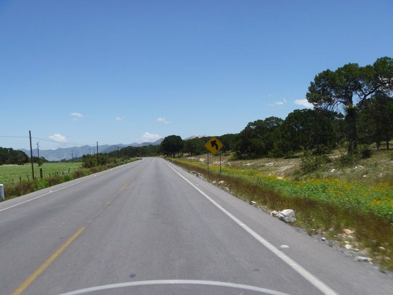
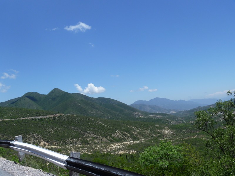
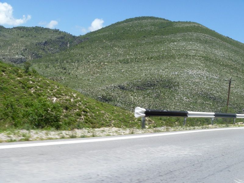
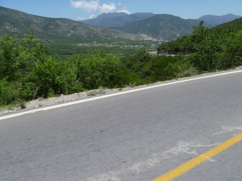
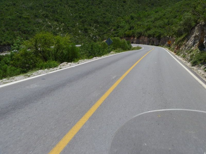
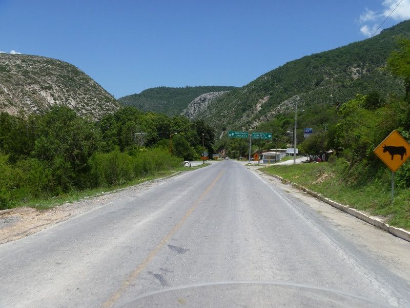
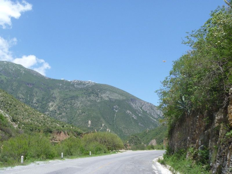
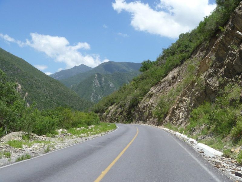
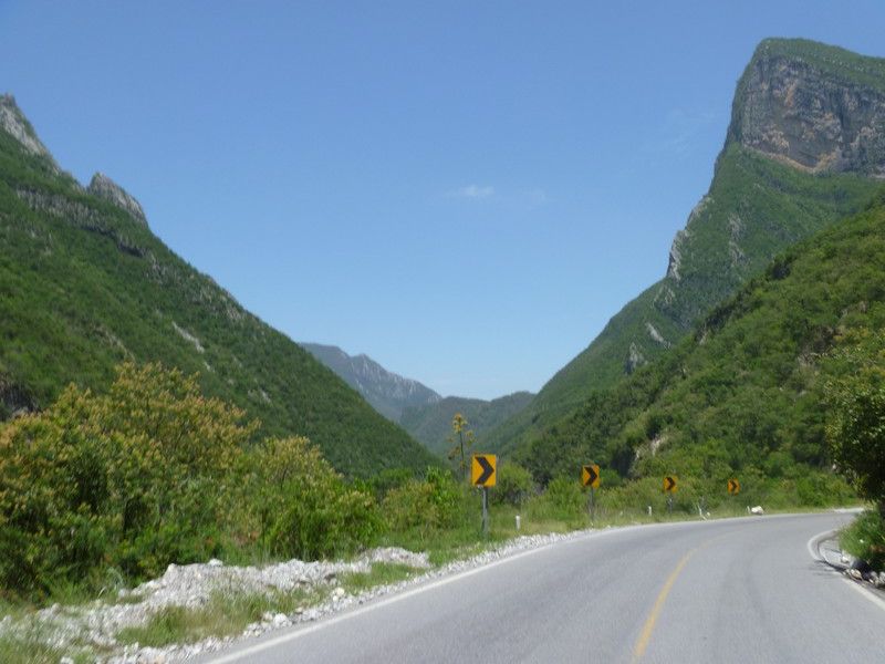
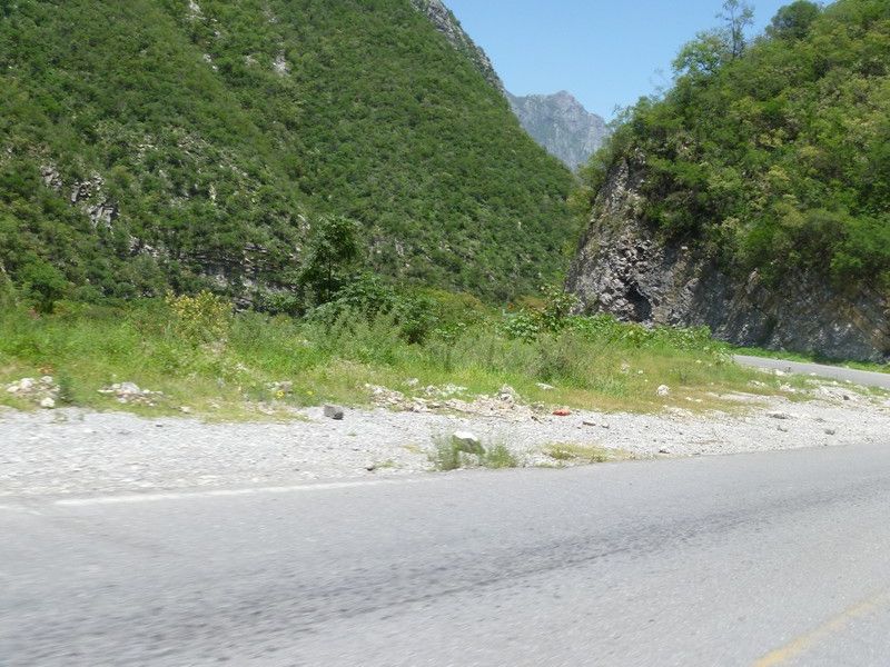
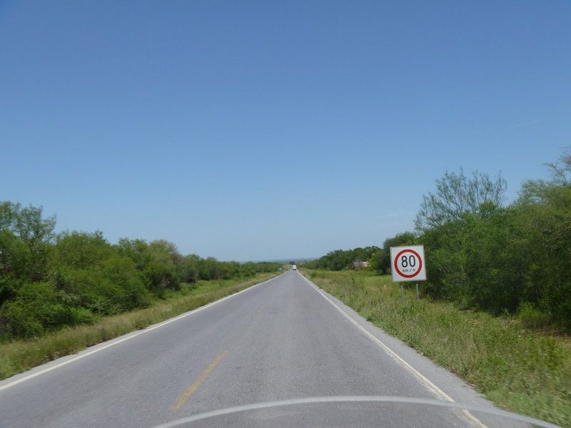
About 125 miles south of Monterrey I took Hwy 58 across the mountains over to Linaries. The map made the road look like it would run the valleys in the mountains and have some good views. Few miles after I headed east I was riding the valleys. Then the fun began. I was up in the mountains, may places has narrow shoulders and no guard rails. Great ride going across.
|